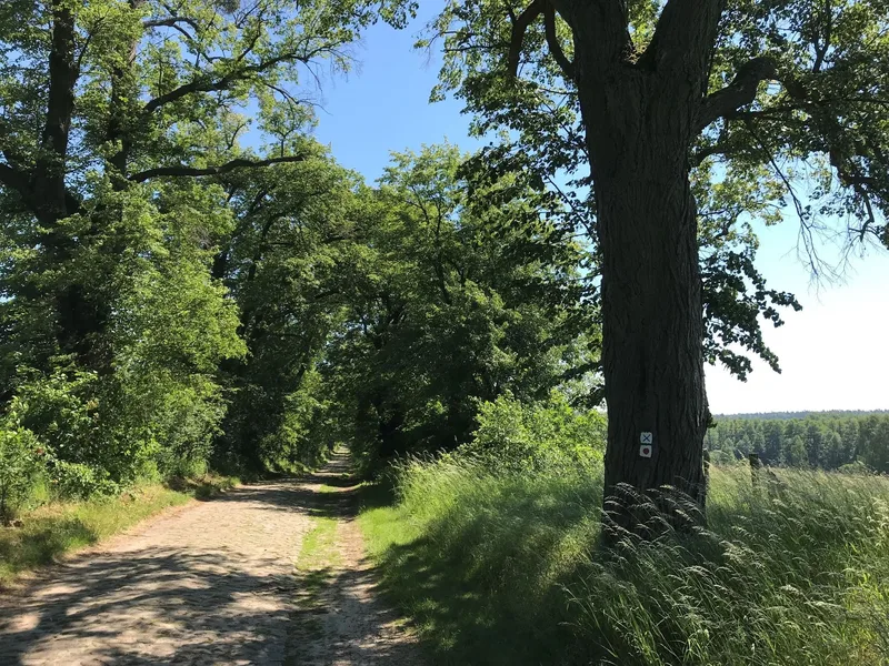
Uckermärker Landrunde, hiking trail
From Uckerpromenade 17291 Prenzlau
The 155 kilometre hiking route with its 8 stages starts in Prenzlau. It goes through two of the Uckermark’s three National Natural Landscapes: the Uckermärkische Seen Nature Park and the Schorfheide-Chorin Biosphere Reserve. Ospreys, white-tailed and lesser spotted eagles, black storks, European pond terrapins, otters and kingfishers are just a few of the many rare species that keen observers can spot in the nature park with its many bodies of water. After crossing the dense woods of the Schorfheide, the route continues in the biosphere reserve. In addition to the natural landscape, visitors will also enjoy the detailed, historically evolved cultivated landscape. With its fields and pastures dotted with shrubs, old villages and cobbled avenues, the area feels a world apart from everyday worries. **Length:** 155 kilometres, 8 stages (14 to 25 kilometres per day) **Route sign:** Red dot on a white background **Start:** Prenzlau, **Finish:** Seehausen **Route:** Prenzlau – Boitzenburg – Templin – Ringenwalde – Angermünde – Seehausen **Points of interest along the route:** - Dominican monastery in Prenzlau - Unteruckersee (Brandenburg’s third biggest natural lake) - sculpture park at Mündesee - historic town centre of Angermünde - Templin with its 1,735 metres long town wall with gates and guard houses - Boitzenburg Castle & Lenné Park **Maps** ADFC-Regionalkarte Uckermark mit Tagestouren-Vorschlägen, 1:75,000, Bielefelder Verlag, 1st edition (April 6, 2016), ISBN: 978-3-87073-745-0, Euro 8.95
- Ascent
- 624 m
- Descent
- 622 m