It is usually warmest in August, at about 12 °C during the day.
Mýrdalshreppur lies on Iceland's south coast around the village of Vík í Mýrdal, below the Mýrdalsjökull glacier. Beneath the ice lies Katla, one of the country's most active volcanoes.West of Vík is the black sand beach of Reynisfjara with basalt columns, the Hálsanefshellir cave and the Reynisdrangar sea stacks. The beach is part of the Katla UNESCO Global Geopark. The waves there are unpredictable and often run far up the beach; for your safety, keep your distance from the water.
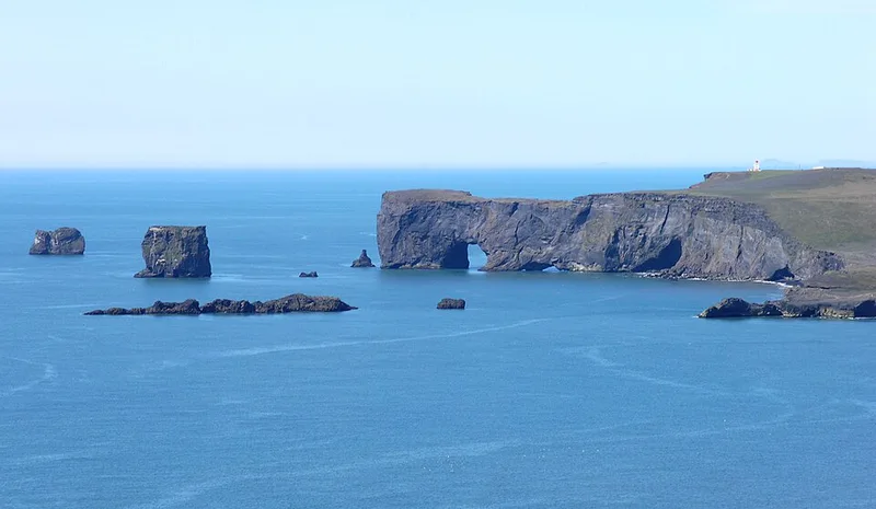
The Dyrhólaey peninsula rises more than 100 metres. A lighthouse from 1927 stands on top, and off its tip is a large rock arch in the sea that gave it its name. In summer, many puffins nest on the cliffs. Further west is the plane wreck on Sólheimasandur.
Places to stay in Vík
Places to stay
1
Within 50 km you will find 2 places to stay.
View places to stay nearbyWhen to visit Vík
The next twelve months, October 2026 to September 2027. Clicking a month opens the search for one week from the first Saturday; you can change the dates there.
| Month | High temp. | Rain days | Water temp. |
|---|---|---|---|
| October 2026 | 6.7 °C | 21 | 8.1 °C |
| November 2026 | 4.6 °C | 21 | 7.2 °C |
| December 2026 | 3.5 °C | 23 | 6.8 °C |
| January 2027 | 3.5 °C | 23 | 6.6 °C |
| February 2027 | 3.3 °C | 21 | 6.5 °C |
| March 2027 | 3.6 °C | 22 | 6.4 °C |
| April 2027 | 5.4 °C | 20 | 6.6 °C |
| May 2027 | 7.6 °C | 19 | 7.4 °C |
| June 2027 | 10.1 °C | 17 | 8.9 °C |
| July 2027 | 11.8 °C | 18 | 10.5 °C |
| August 2027 | 11.8 °C | 19 | 11.0 °C |
| September 2027 | 9.8 °C | 22 | 9.7 °C |
Weather: long-term average 1991 to 2020 from the climate atlas of the Copernicus Climate Change Service (ERA5-Land, water temperature ERA5), grid cell near the centre of the destination; rain days are days with more than 1 mm of precipitation. Contains modified Copernicus Climate Change Service information (2026), CC BY 4.0.
Discover Vík
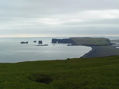
Dyrhólaey
Dyrhólaey (Icelandic pronunciation: [ˈtɪrˌhouːlaˌeiː], "door hill island"), formerly known by seamen as Cape Portland, i...
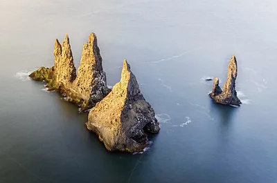
Reynisdrangar
Reynisdrangar (Icelandic pronunciation: [ˈreiːnɪsˌtrauŋkar̥]) are the basalt sea stacks situated under the mountain Reyn...
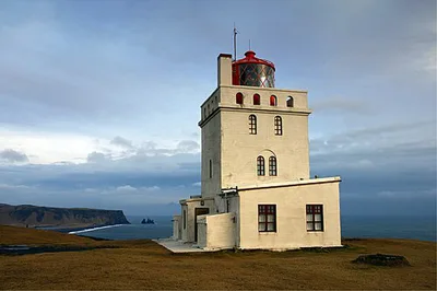
Dyrhólaey Lighthouse
The Dyrhólaey Lighthouse (Icelandic: Dyrhólaeyjarviti [ˈtɪːrˌhouːlaˌeiːjarˌvɪːtɪ]) is a lighthouse located on the centra...
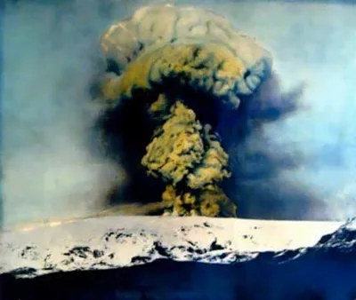
Katla (volcano)
Katla (Icelandic pronunciation: [ˈkʰahtla] ) is an active subglacial volcano in southern Iceland. This volcano has been...
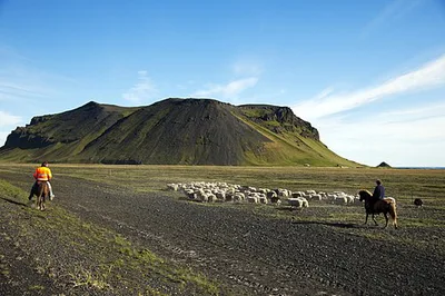
Pétursey

Wrecked DC-3 Plane
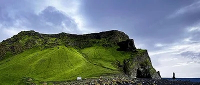
Reynisfjall
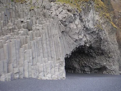
Hálsanefshellir
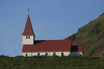
Víkurkirkja
Map of Vík
9 places on the map.
Around Vík
Nearby regions — for a day trip or as an alternative base.