Grainau
12 places to stay. A night costs from about 117 €.
It is usually warmest in August, at about 17 °C during the day.
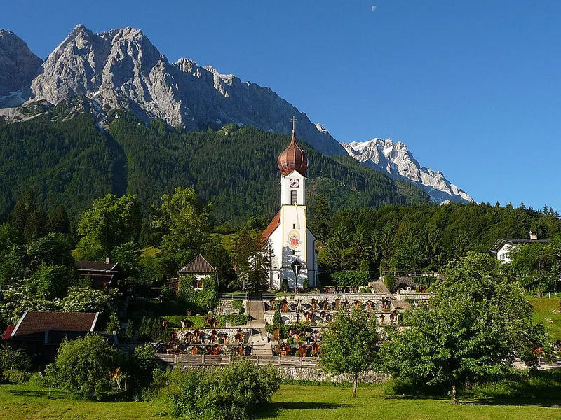
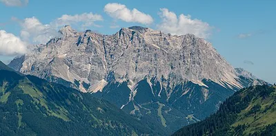
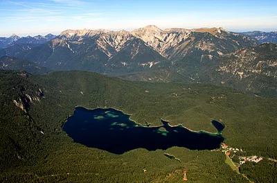
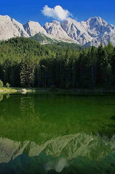
Grainau lies at the foot of the Zugspitze, at 2,962 metres the highest mountain in Germany. A cable car runs from Lake Eibsee to the summit. The lake itself lies about three and a half kilometres below the Zugspitze and is divided into five basins.The Badersee and the Frillensee are two smaller, quieter mountain lakes in the municipality. From the village of Hammersbach a path leads into the Höllental valley; above the village are the remains of a late medieval tower castle. The parish church of St. John the Baptist stands in Obergrainau. On the Osterfelderkopf, the top station of the Alpspitzbahn, is the AlpspiX viewing platform.
Places to stay in Grainau
Places to stay
12
One night
from about 117 €
One night: cheapest place to stay, typical night for 2 people across the year. As of November 3, 2026.
When to visit Grainau
The next twelve months, November 2026 to October 2027. Clicking a month opens the search for one week from the first Saturday; you can change the dates there.
| Month | High temp. | Rain days |
|---|---|---|
| November 2026 | 4.0 °C | 13 |
| December 2026 | -0.7 °C | 14 |
| January 2027 | -1.3 °C | 13 |
| February 2027 | 0.0 °C | 13 |
| March 2027 | 3.1 °C | 16 |
| April 2027 | 6.7 °C | 17 |
| May 2027 | 11.5 °C | 21 |
| June 2027 | 15.2 °C | 22 |
| July 2027 | 17.0 °C | 21 |
| August 2027 | 17.0 °C | 19 |
| September 2027 | 13.4 °C | 17 |
| October 2027 | 9.9 °C | 14 |
Weather: long-term average 1991 to 2020 from the climate atlas of the Copernicus Climate Change Service (ERA5-Land), grid cell near the centre of the destination; rain days are days with more than 1 mm of precipitation. Contains modified Copernicus Climate Change Service information (2026), CC BY 4.0.
Discover Grainau
Zugspitze
The Zugspitze ( ZUUG-shpit-sə, German: [ˈtsuːkˌʃpɪtsə] ; lit. '[avalanche] path peak'), at 2,962 m (9,718 ft) above sea...
Eibsee
Eibsee ("yew lake") is a lake in Bavaria, Germany, 9 km southwest of Garmisch-Partenkirchen and roughly 100 km southwest...
Frillensee
Der Frillensee ist ein kleiner Bergsee in der Gemarkung der Gemeinde Grainau bei Garmisch-Partenkirchen und liegt auf ei...
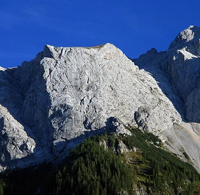
Riffeltorkopf
Der Riffeltorkopf ist ein 2236 m ü. NHN hoher Berg des Wettersteingebirges in Bayern.
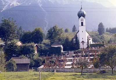
St. Johannes der Täufer
Die Pfarrkirche St. Johannes der Täufer ist ein katholisches Kirchengebäude in Grainau, Ortsteil Obergrainau, Landkreis...
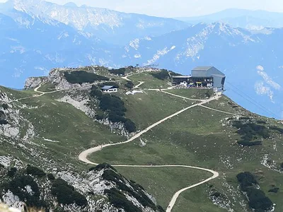
Osterfelderkopf
Osterfelderkopf (elevation 2,057 m (6,749 ft)) is a summit of the Wetterstein range in the German state of Bavaria.
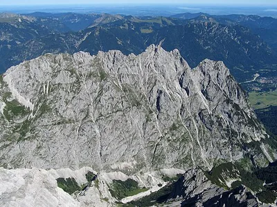
Waxenstein
Waxenstein is a mountain of Bavaria, Germany. It has been a popular destination for mountain climbing, but is "unpleasan...
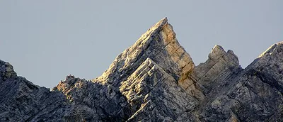
Vollkarspitze
The Vollkarspitze is a 2,630 m high mountain in the Wetterstein group in Germany that, until 2001, had twin peaks. It i...
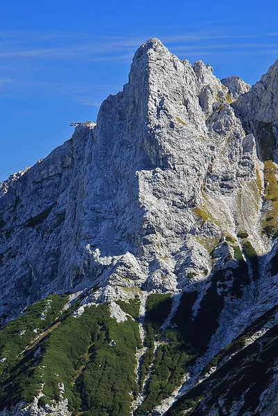
Höllentorkopf
Der Höllentorkopf ist ein Berg im Wettersteingebirge, der den nördlichen Ausläufer der Alpspitze abschließt. Sein Gipfel...
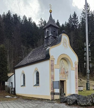
Mariä Himmelfahrt
Die römisch-katholische Kapelle Mariä Himmelfahrt im Ortsteil Hammersbach der Gemeinde Grainau im oberbayerischen Landkr...
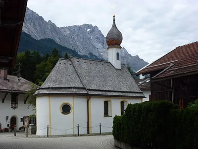
Kapelle St. Josef
Die römisch-katholische Kapelle St. Josef im Ortsteil Untergrainau der Gemeinde Grainau im oberbayerischen Landkreis Gar...
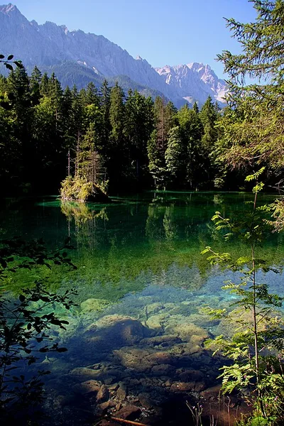
Badersee
Der Badersee ist ein kleiner Bergsee in der Gemeinde Grainau bei Garmisch-Partenkirchen. Seinen Namen erhielt der See vo...
Map of Grainau
12 places on the map.
Around Grainau
Nearby regions — for a day trip or as an alternative base.
No neighbouring regions on file right now.